Date
February 29, 2012
Body
Image
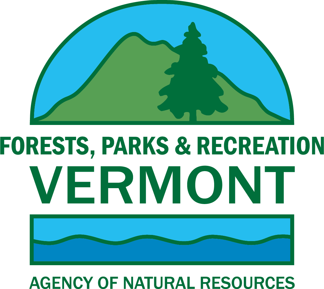
|
| The former Will Monroe house |
Well, Doug, our park visitor, came back with a few more questions for Gary, and here's how it went:
Doug: My sister recently found a hand-written journal kept by our father when he and two other lads from Montpelier hiked the Long Trail from Duxbury to Rutland in August of 1921. Here is an excerpt of his first day account:
"Brock, Lindsay and Jones left Montpelier at 3:00 P.M. Sunday with every expectation of rain. Arrived the Callahans 4:00 P.M. Packs weighed about 35 lbs. each. The first half mile was somewhat of a torture to our untrained muscles. Stopped about 6:30 at the Boy Scout camp for supper. The rest of the way to the top was so steep that our noses scraped on the boulders. Most of the trail was composed of a running brook which thoroughly soaked our feet. We reached the top at 8:00 P.M., five hours after leaving Montpelier. This was called good time as we came up over the old trail. R. Kate was in charge of the huts and he made us some excellent coffee and we had a most delicious meal. By the use of nine blankets we were able to keep fairly warm. Covered 4 miles."
I assume that 'R. Kate' was a GMC caretaker at the 'hut clearing'. Is that correct? Where was the Boy Scout Camp? Is it still there or are there any remains?
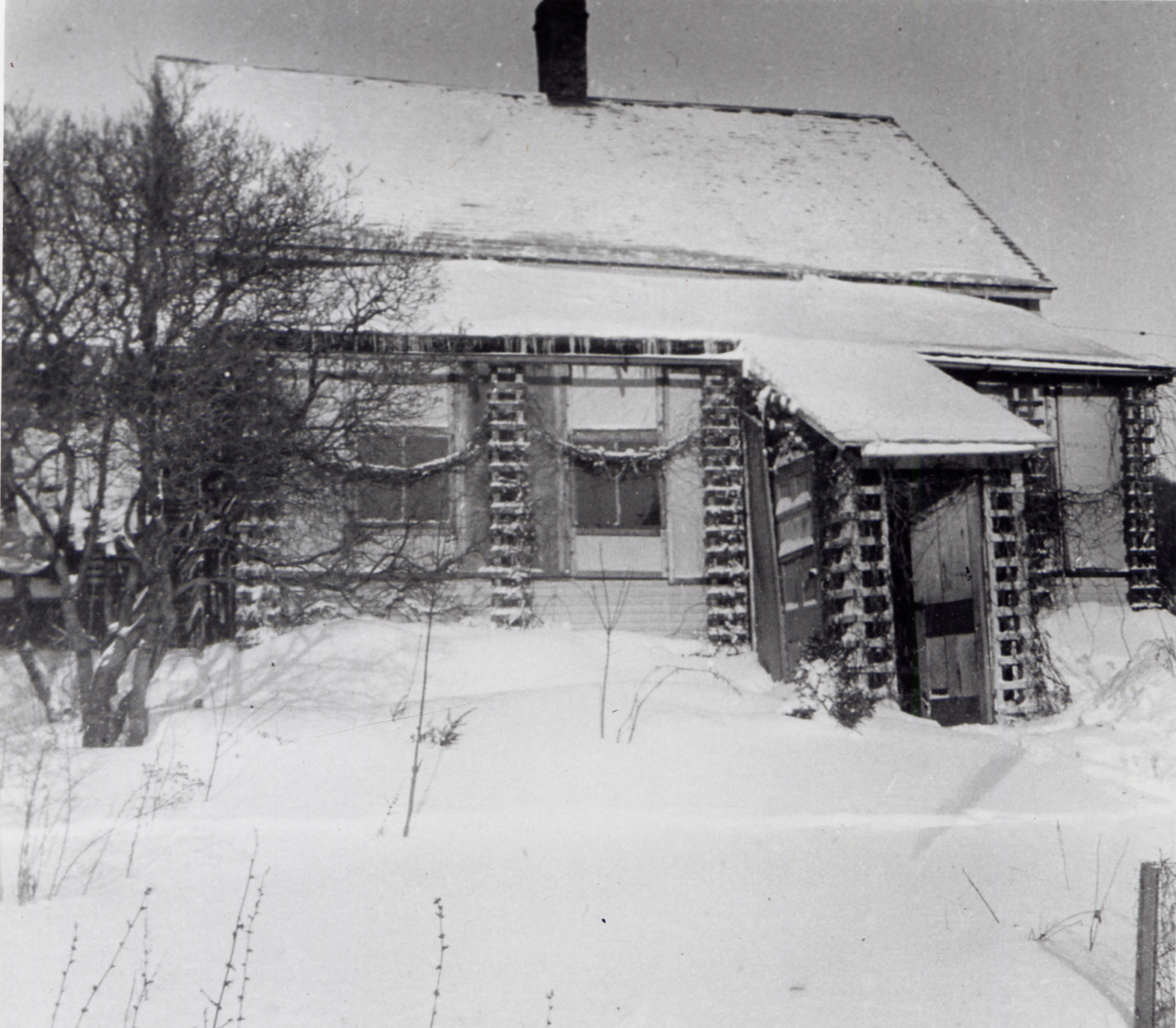
Image
|
| A section of one of the old maps |
Gary's answer: Thanks for your questions, Doug. I looked back and found even more from surveys from 1917 - 1919 which helped to produce maps showing old trails and buildings. These maps (a portion shown to the right) and corresponding journal entries helped to fill in some blanks from the past.
On the map, there is a label for "Callahan’s" which refers to a house that used to be at the base of what is now called the Monroe Trail. This house was occupied by Will Monroe and his sister Katherine after the Callahans moved out and was removed in the early 1970s due to its poor condition. On that same side of the mountain in the early part of the 20th century, two main trails lead up to the summit, the Old Callahan and the New Callahan.
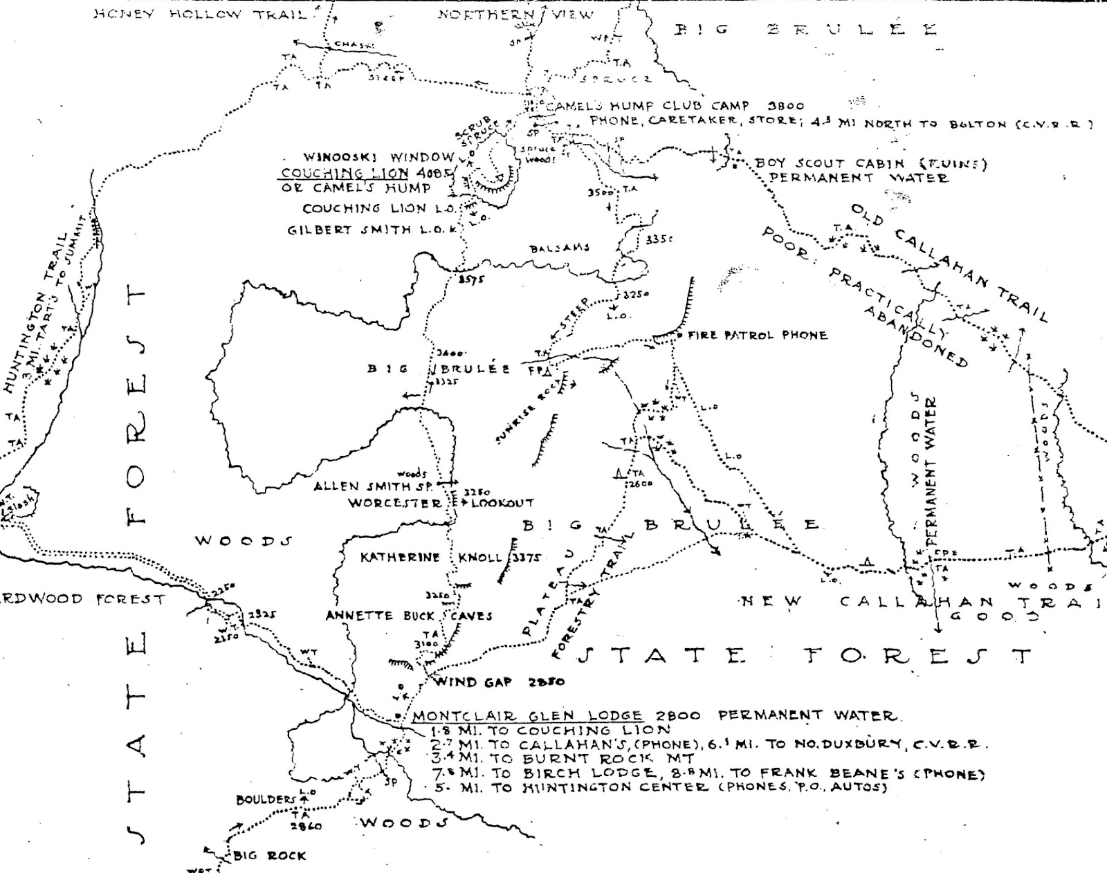
Image
|
| Old fashioned winter camping |
Image
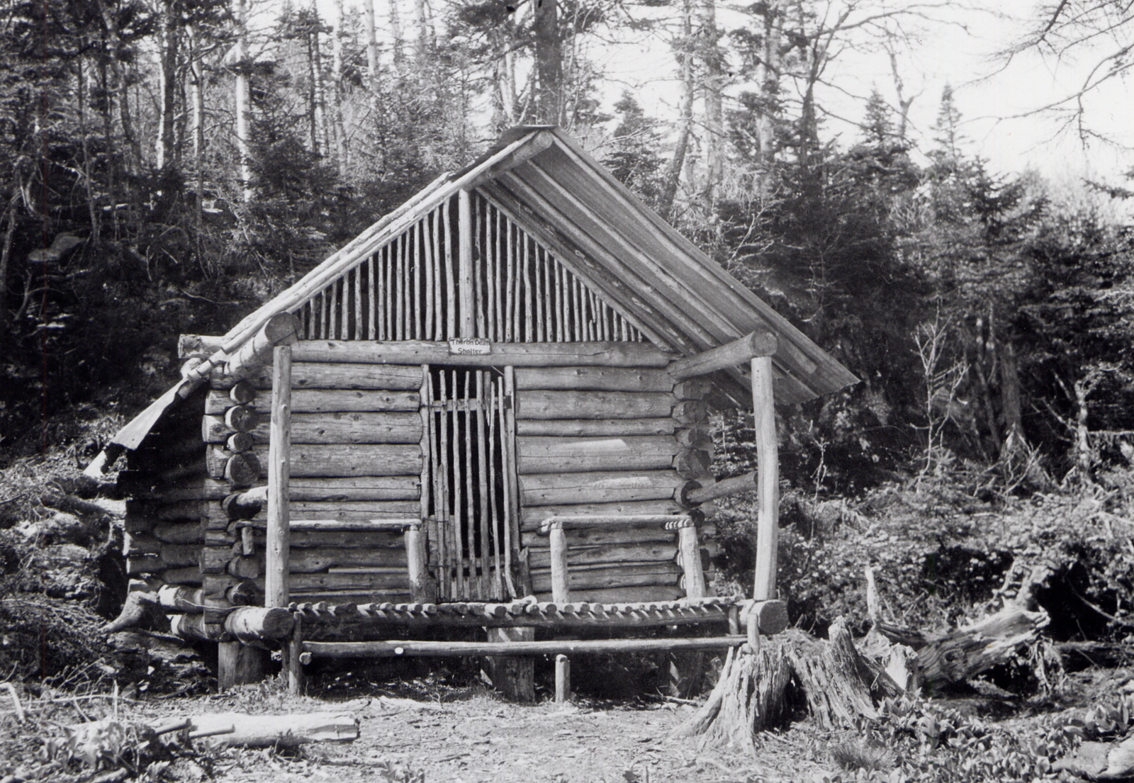
|
| One of the old cabins |
Another feature referred to on the old maps, were huts which were probably the ones at the Hut Clearing run by the Camel’s Hump Club, not the Green Mountain Club. The map indicates that at the huts was a phone, a store, and a caretaker. There are no remains of the huts in the clearing or the Boy Scout camp - at least none that has been found yet!
Image
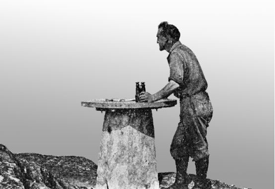
|
| First forest fire lookout in Vermont |
If you have some history on a state park or state land, please share it with us. You can email your stories to parks@state.vt.us or call us 888-409-7579.